

Written by Zander Evans
Written by Jack Singer, MPC Chair
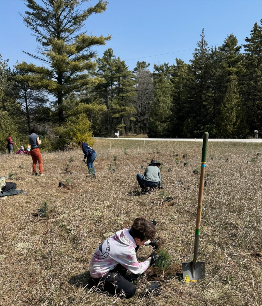
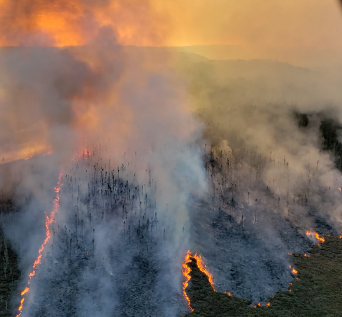
Written by Bobbie Webster, Wisconsin Department of Natural Resources (DNR) Division of Forestry
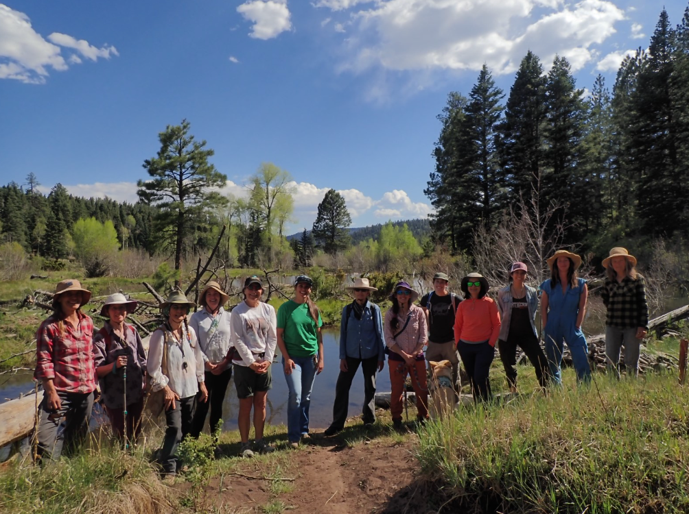
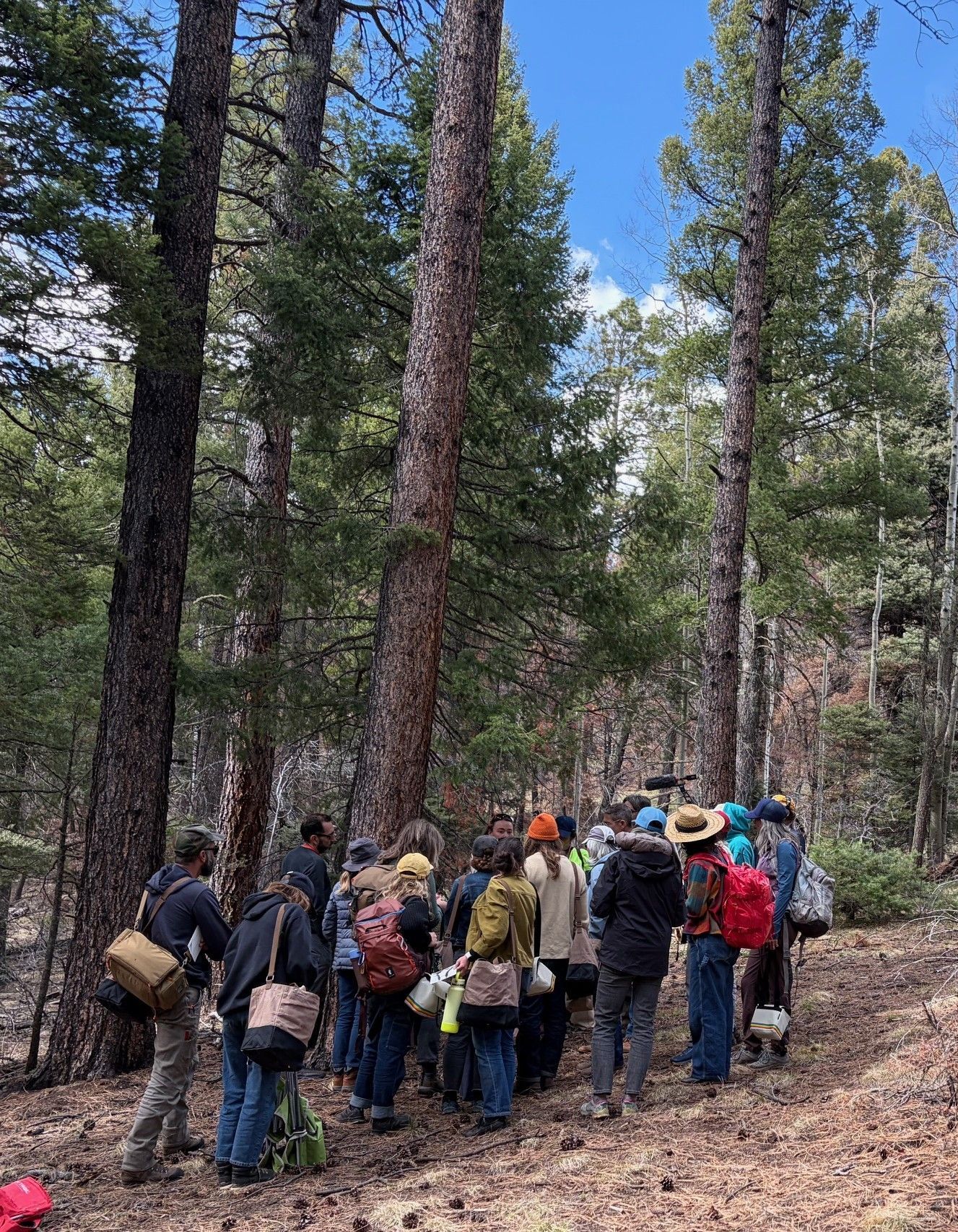
Written By Maya Hilty and Megan Rangel-Lynch
Written by Ryan Salyers
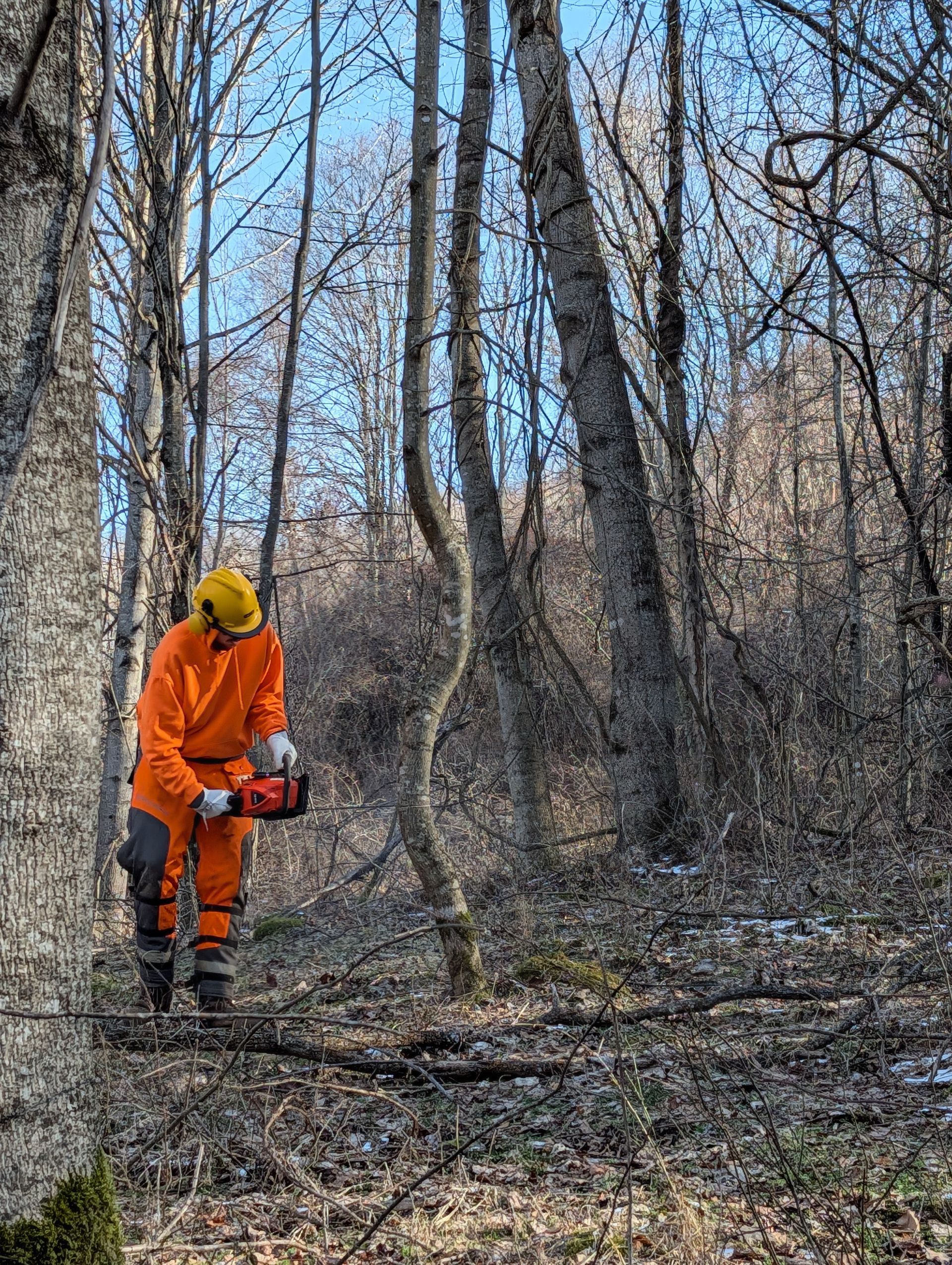
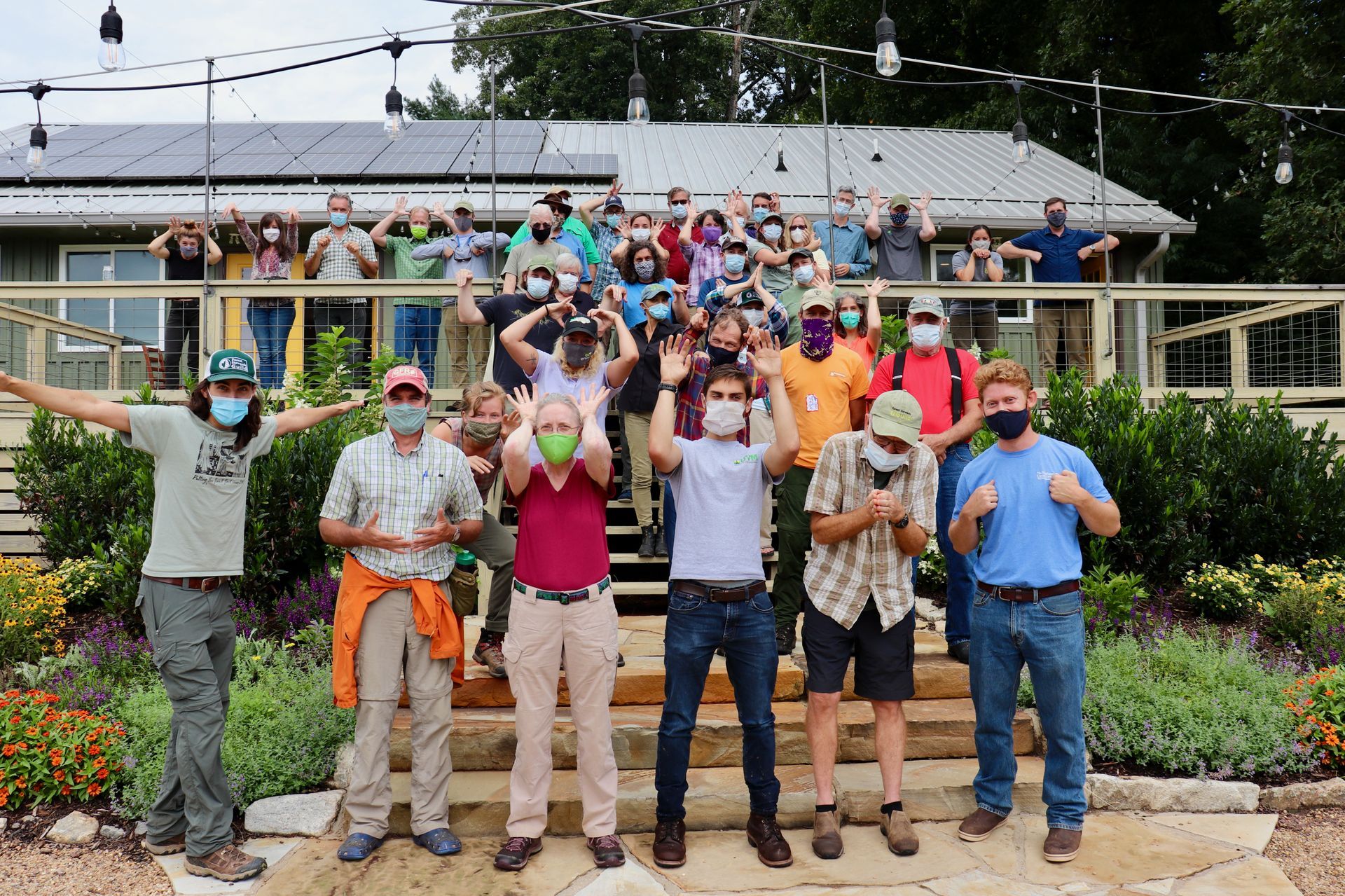
Written by Billy Coffey, SWVA Crew Leader
Written by Zander Evans
Written by Zander Evans
A science inspired art show in Taos, NM Written by Cody Dems
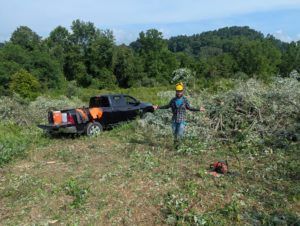
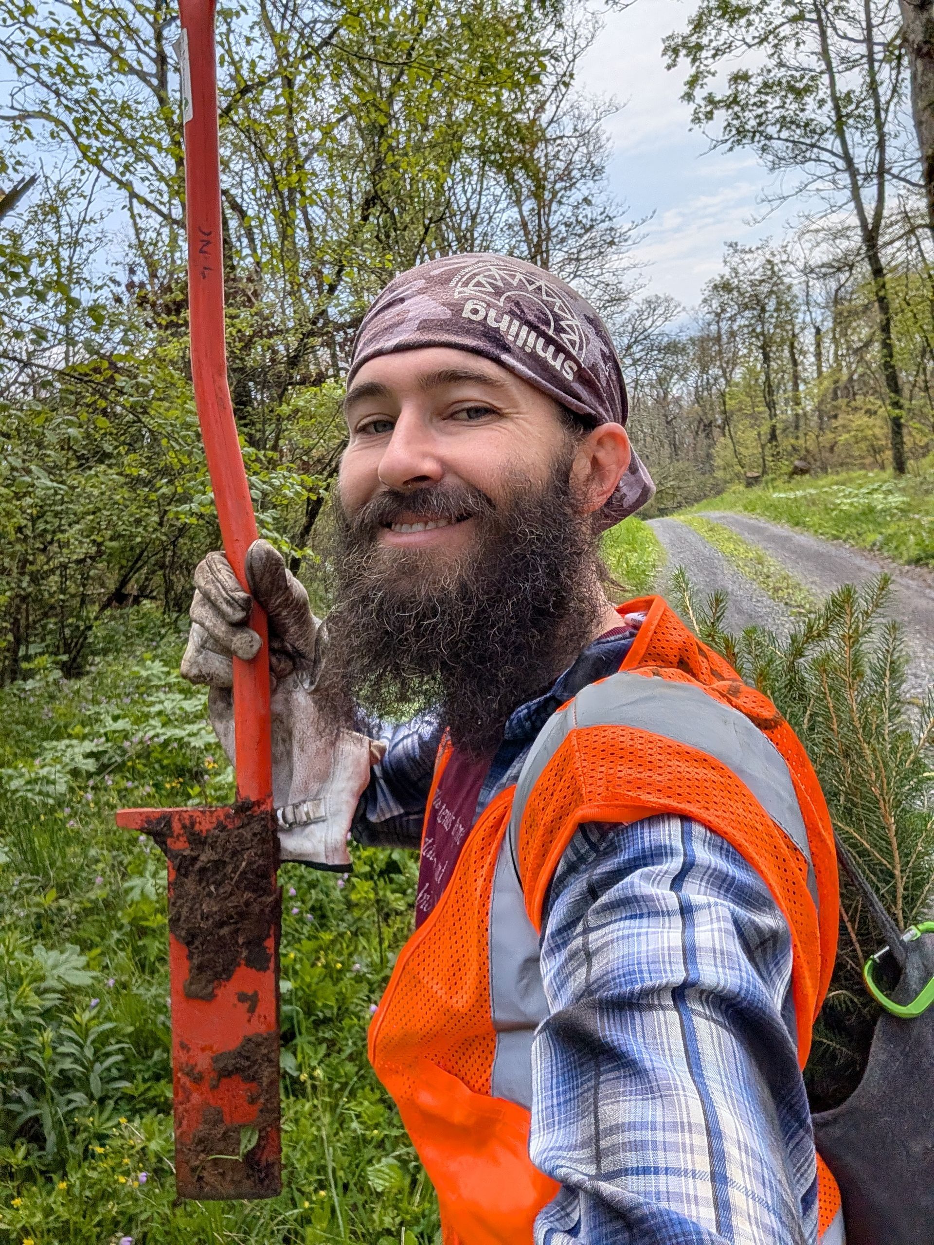
Written by Billy Coffey